GeoFly Lab
Geospatial AI research and education at UC Santa Cruz
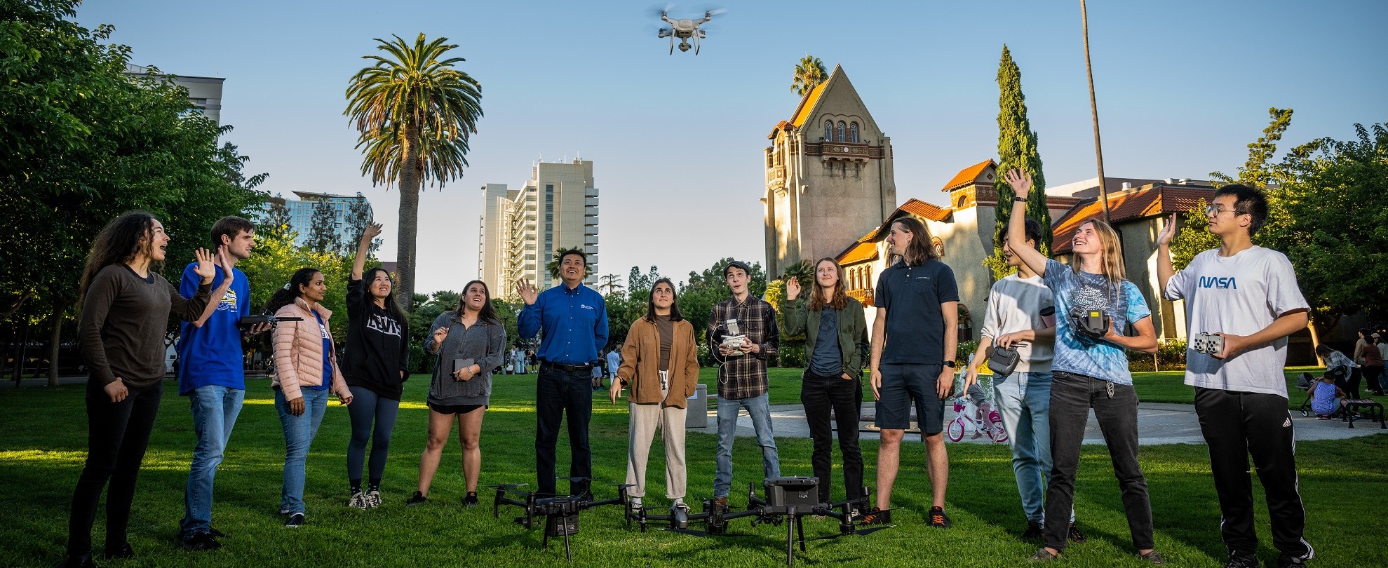
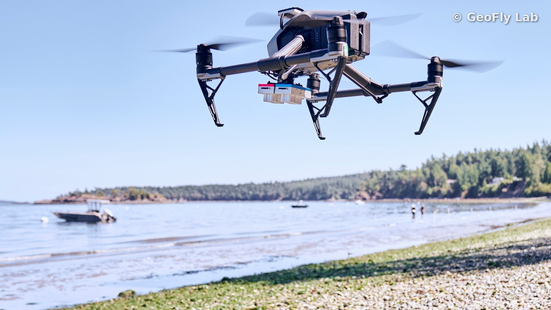
GeoFly Lab, in the Department of Environmental Studies at the University of California, Santa Cruz, studies environmental change using GIS, remote sensing, UAV (drone) mapping, and artificial intelligence. Our work spans wildfire, coastal seagrass ecosystems, and urban environments, including the transportation impact on urban heat. We train computer vision and machine learning models on the imagery we collect, finding fire fronts through smoke, mapping eelgrass wasting disease, and classifying vegetation and fuels. We also train students in drone-based field methods and reproducible geospatial analysis.
Our research is supported by the National Science Foundation, NASA, and CAL FIRE.
Research areas
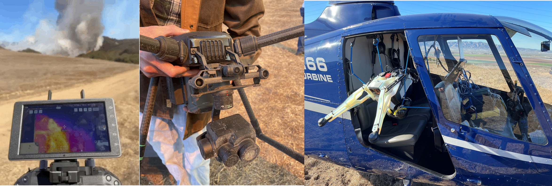
Wildfire Remote Sensing
Thermal, LiDAR, and multispectral drone mapping, with computer vision that finds the fire front through smoke.
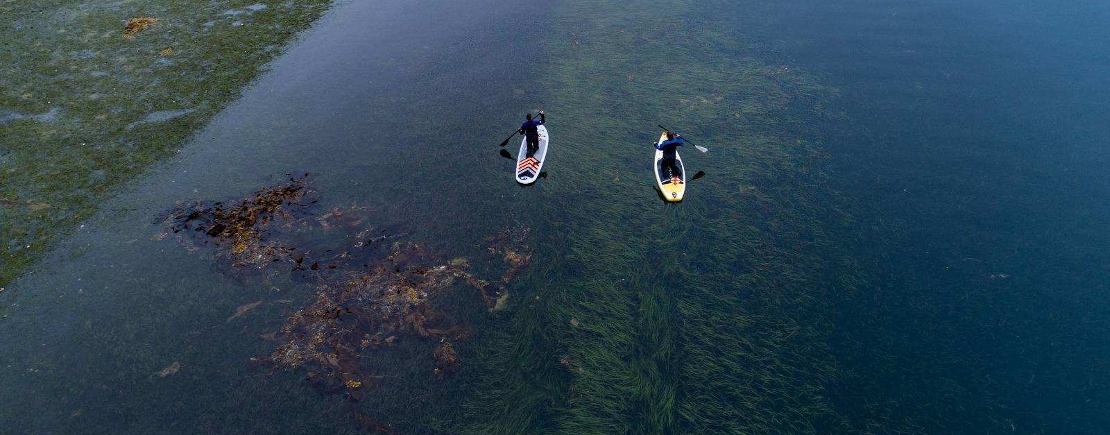
Coastal Seagrass Mapping
UAV and AI monitoring of eelgrass habitat, climate stress, and disease along the Pacific coast.
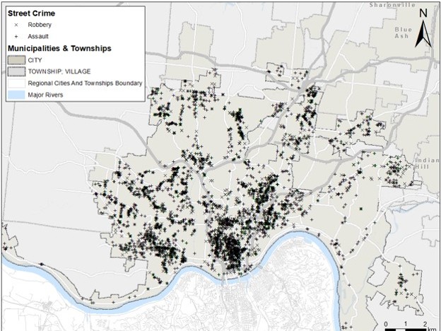
Urban Analytics, Transportation & Crime
Spatial statistics, machine learning, and remote sensing for the transportation impact on urban heat, and for crime.
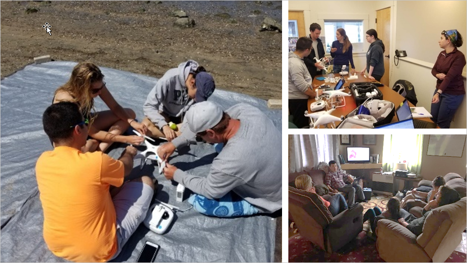
GeoFly Open-Access Drone Training Course
A free, self-paced course on the full drone mapping workflow, from flight operations to GIS analysis.
GeoFly open-access drone mapping course
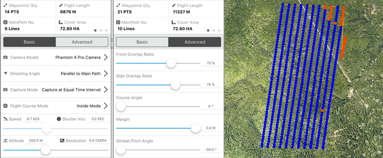
Our free, self-paced course covers the complete drone mapping workflow used in our research: safe flight operations and FAA Part 107 preparation, mission planning, ground control, image processing, and GIS analysis. It is open to students, researchers, educators, and project partners.
- Five modules with guides, slides, and checklists
- An online FAA Part 107 study guide and practice quiz
- No prerequisites; basic GIS familiarity is helpful
- Based on our peer-reviewed drone mapping training program (Drones, 2020)
News
- Three new papers from the canyon fire experiment
- Student-led summer 2026 fieldwork maps seagrass along the West Coast
- GeoFly Lab Members Contribute to 'Histories of Fire and Industry in the Santa Cruz Mountains'
- GeoFly Lab welcomes a new eBee X drone for our NSF seagrass mapping project
- New paper in Annals of AAG: thermal remote sensing of traffic impacts on urban heat during COVID-19
Prospective students. We welcome students interested in GIS, remote sensing, and drone mapping. Please send your CV or resume with a short note about your background and interests.