Research
GeoFly Lab applies GIS, remote sensing, UAV mapping, and AI to environmental and urban questions, from wildfire and coastal ecosystems to the transportation impact on urban heat.
Wildfire Remote Sensing
Funded by NASA through the FireSage program
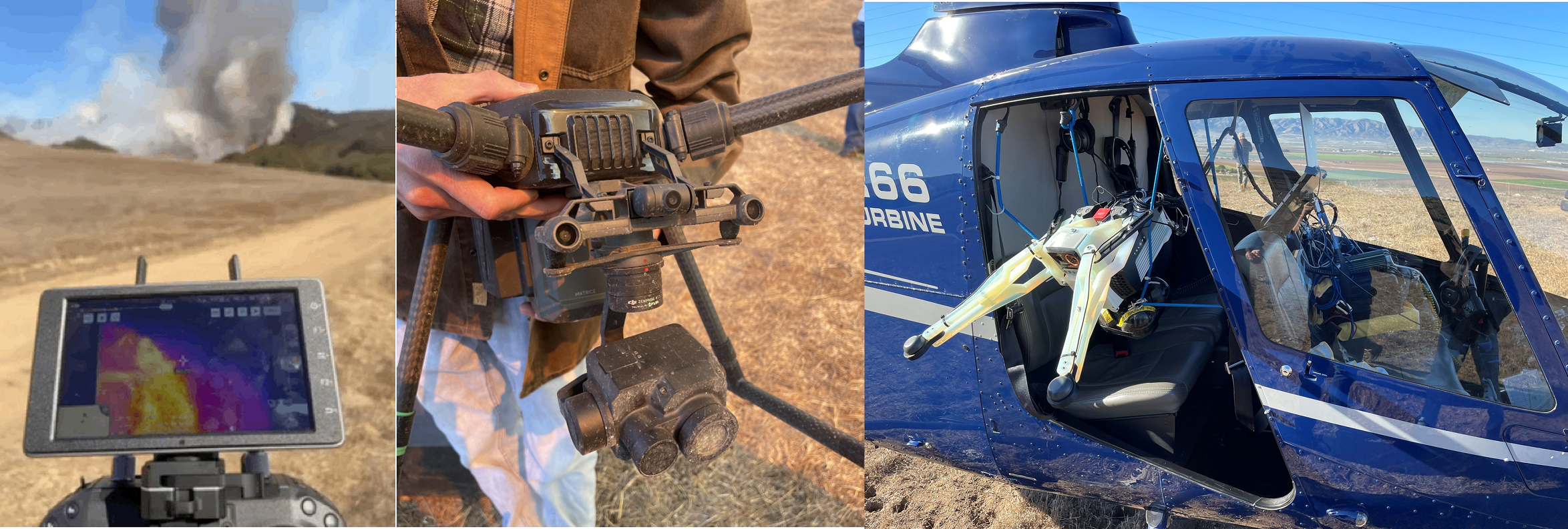
We use thermal, LiDAR, and multispectral drones to study fire behavior during prescribed burns, working with CAL FIRE and the Wildfire Interdisciplinary Research Center. The work includes real-time thermal mapping of active fire, AI detection of fire fronts through smoke, fuel mapping before and after burns, and assessment of the Home Ignition Zone in fire-prone communities.
Projects: Prescribed fire mapping; Home Ignition Zone (HIZ); NASA FireSage student program
Coastal Seagrass Mapping
Funded by the National Science Foundation (NSF Build and Broaden, B2)
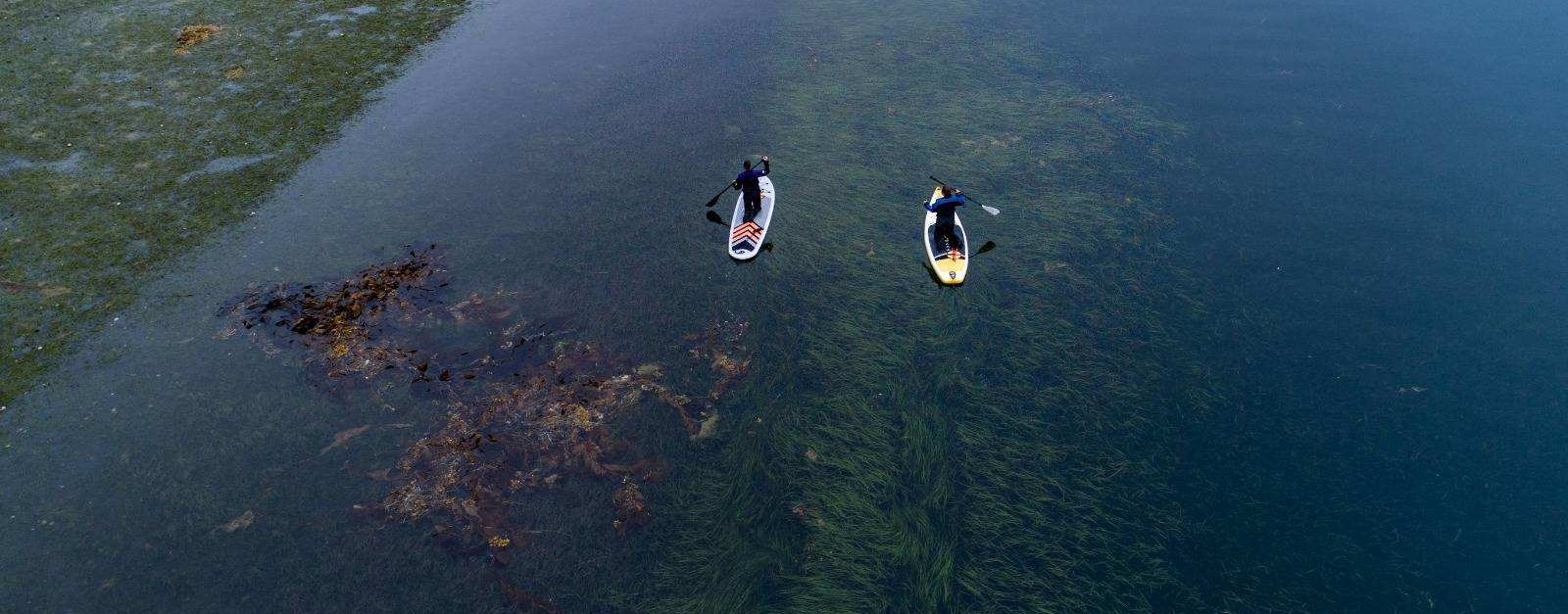
A collaboration mapping eelgrass (Zostera marina) meadows from Alaska to Southern California. We combine low-altitude UAV imagery, field ecology, and AI to measure seagrass extent, condition, and wasting disease across roughly 18° of latitude.
Projects: Pacific coast eelgrass surveys; wasting-disease monitoring; Florida Indian River Lagoon mapping
Urban Analytics, Transportation & Crime
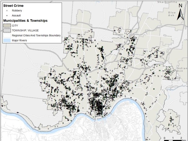
Spatial statistics, machine learning, and thermal remote sensing applied to urban heat, transportation, and public safety, including the spatio-temporal cokriging (ST-Cokriging) method for fusing multi-sensor remote sensing data.
Projects: Urban heat and transportation; crime prediction; ST-Cokriging image fusion; hydrological BMP analysis; cultural heritage mapping
Drone Mapping the Florida Coastal
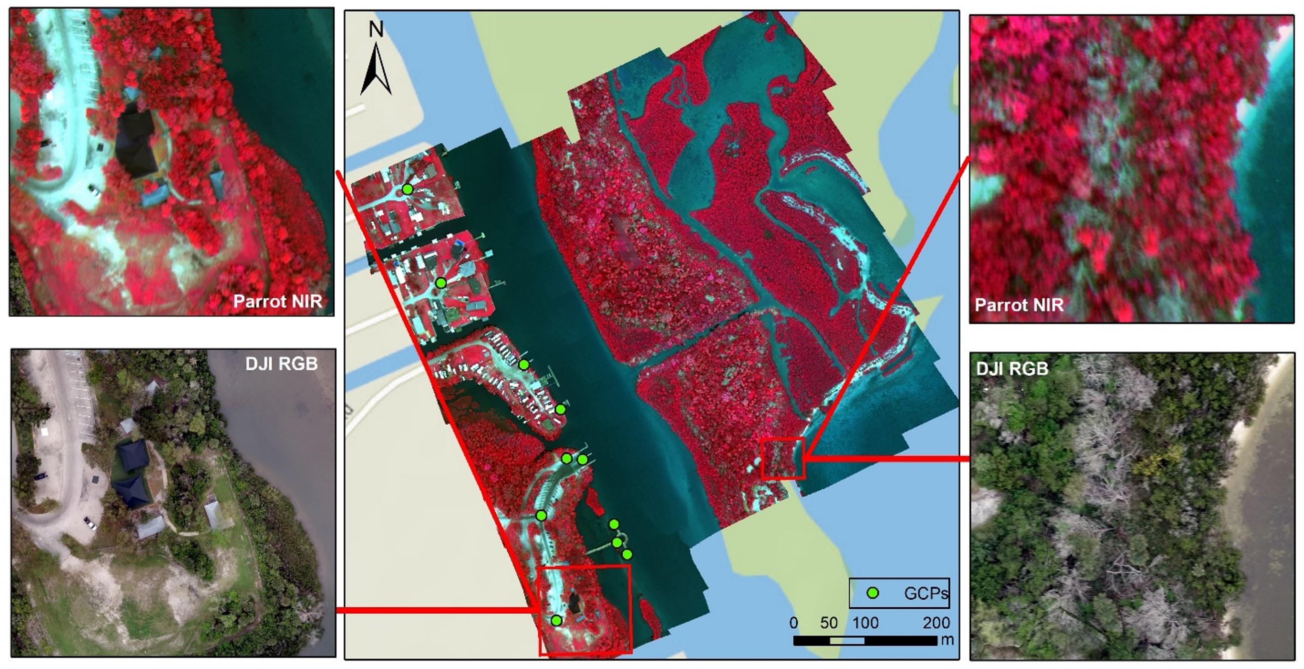
Field trials over the Indian River Lagoon used multispectral UAV mapping with GCPs, compared to geo-referenced satellite imagery. NDVI and object-oriented classification methods were employed to compare UAV and satellite mapping capabilities.
Projects: Indian River Lagoon seagrass mapping; UAV and satellite comparison
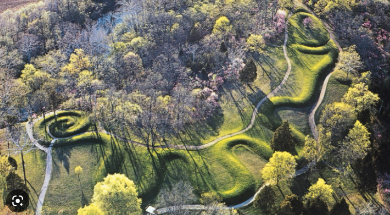
Drone Mapping the OH Serpent Mound
Drone mapping captures a bird's-eye view of the Serpent Mound, an ancient archaeological site in Ohio, revealing its structure and potential ceremonial alignments with astronomical events.
Projects: Archaeological site mapping; cultural heritage documentation
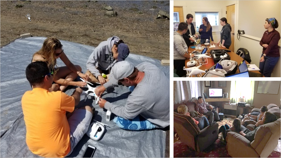
GeoFly Open-Access Drone Training Course
A free, self-paced course covering the complete drone mapping workflow used in our research: safe flight operations and FAA Part 107 preparation, mission planning, ground control, image processing, and GIS analysis. It is open to students, researchers, educators, and project partners, and is based on our peer-reviewed drone mapping training program (Drones, 2020).
Includes: Five modules with guides, slides, and checklists; FAA Part 107 study guide and practice quiz; no prerequisites
Facilities
Computing, UAV, and field instrumentation used in our research and teaching.
CISR/GISTAR GIS Lab
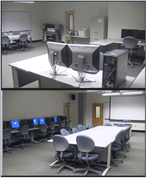
The UCSC CISR GISTAR Lab is a state-of-the-art facility for geospatial research and education, equipped with high-performance computers featuring RTX 4090/3060 GPUs, SSD storage, and dual monitors. It supports GIS, remote sensing, drone mapping, machine learning and AI with access to drones, a large-format plotter, and a 3D printer. The lab includes a seminar room, student workspace, high-resolution projection systems, an AR map sandbox, and a DTEN interactive display. Software resources include ArcGIS Pro, Esri Drone2Map, QGIS, ENVI, Google Earth Engine, and statistical tools, enabling advanced spatial analysis and research.
Location: Interdisciplinary Sciences Building, rooms 486 and 450
UAVs and sensors
-
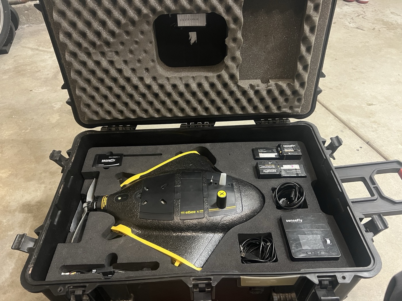
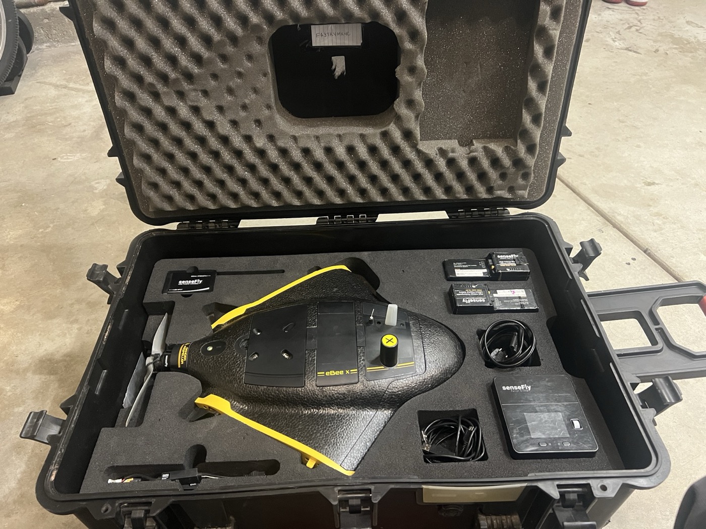
senseFly eBee X
Fixed-wing UAV for large-area mapping. Supports RTK/PPK workflows and interchangeable payloads (including S.O.D.A.). Specifications
-
senseFly S.O.D.A. camera
Mapping camera payload for the eBee X platform (RGB). Specifications
-
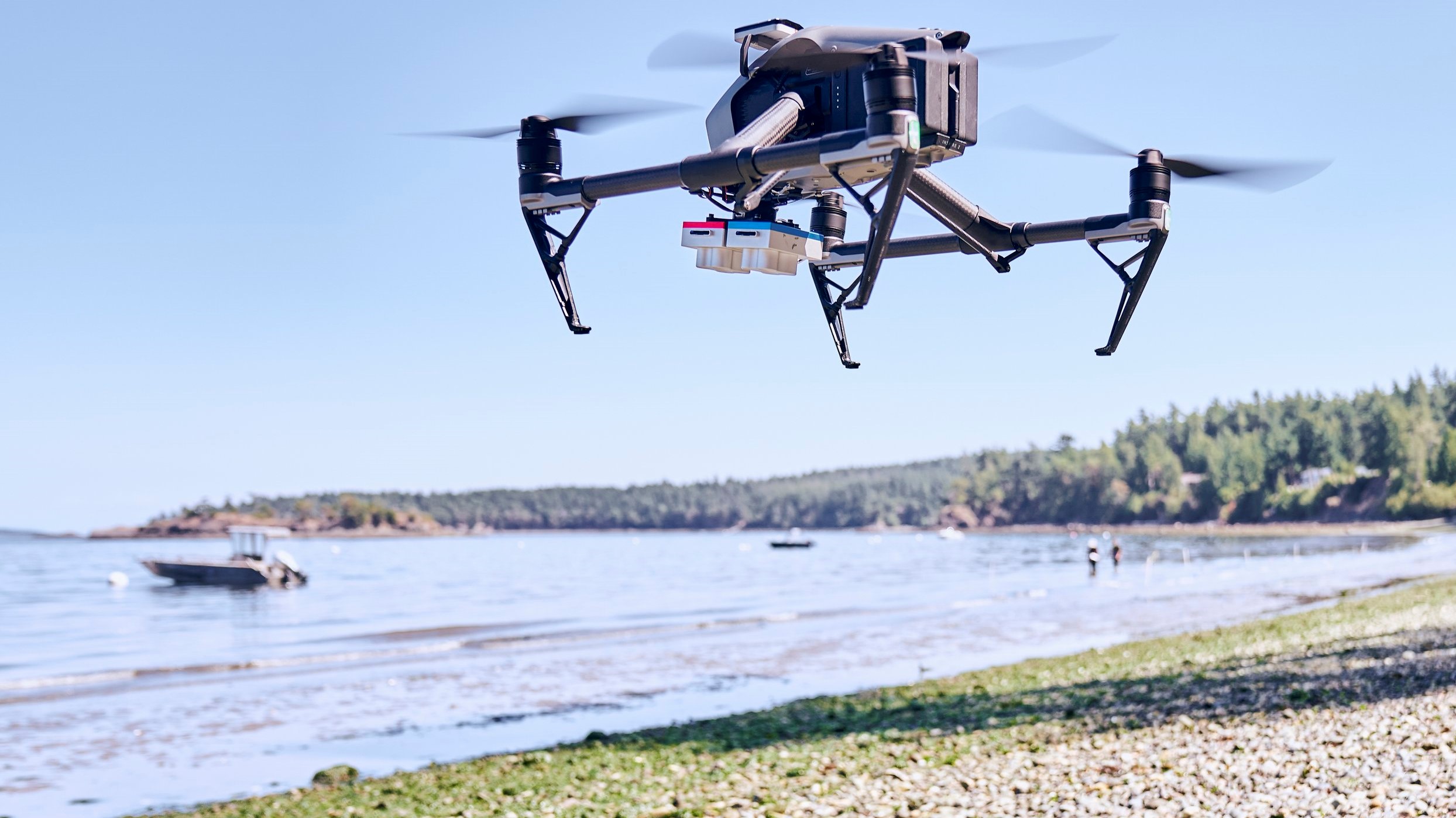
Inspire 2
Multispectral drone platform with intelligent flight features. 27-minute flight time. Specifications
-
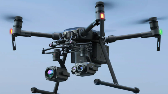
Matrice 200
Versatile and rugged thermal drone platform supports multiple payload configurations. 38-minute flight time. Specifications
-
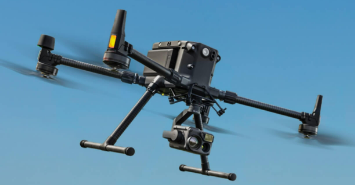
Matrice 300 RTK
State-of-the-art industrial drone solution with LiDAR/RGB aerial mapping capabilities. 55-minute maximum flight time. Specifications
-
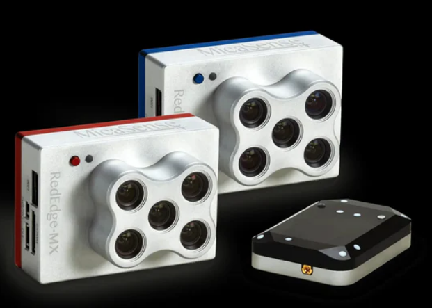
MicaSense 10-Band Dual Sensor
This advanced sensor system combines two powerful 5-band sensors, capturing high-resolution imagery across ten spectral bands, including visible light, near-infrared, and red edge. Specifications
-
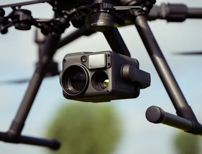
Zenmuse H20T Thermal Sensor
Thermal sensor provides precise temperature measurements to identify heat signatures and monitor infrastructure efficiently. Specifications
-
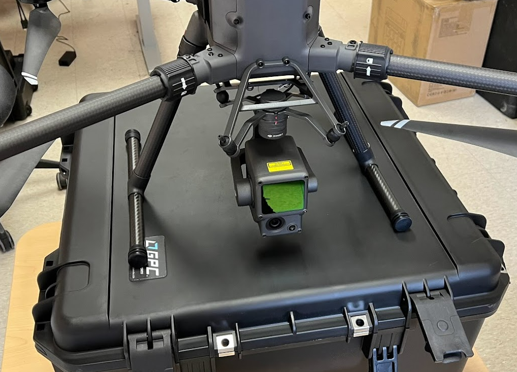
Zenmuse L1 LiDAR Sensor
Advanced Livox LiDAR technology captures up to 240,000 points per second, enabling the generation of accurate, high-density point clouds for forestry and infrastructure inspection. Specifications
-
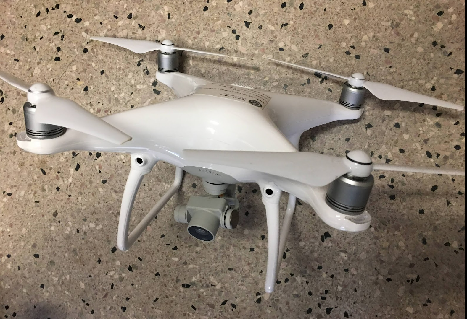
DJI Phantom 4 Pro
Aerial photography and videography drone designed to capture stunning images and breathtaking footage. Specifications
-
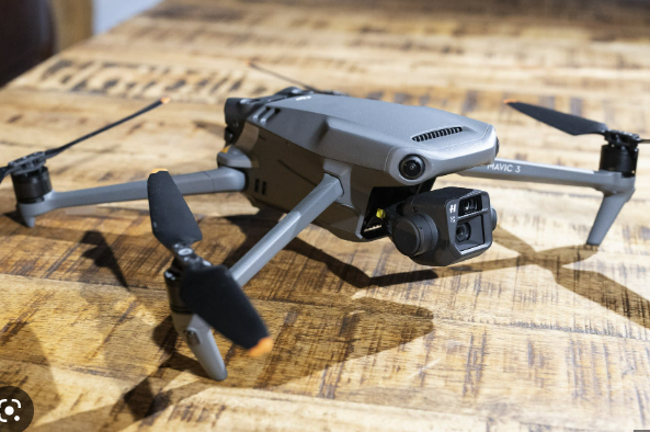
DJI Mavic 3
Dual-camera foldable drone that takes aerial photography and videography to new heights. Specifications
-
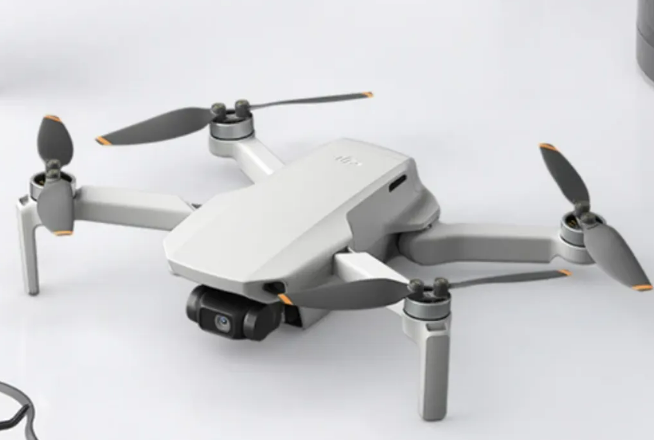
DJI Mini SE
Weighing just 249 grams a perfect entry point for beginners and educational use alike. Specifications
Field instruments
-
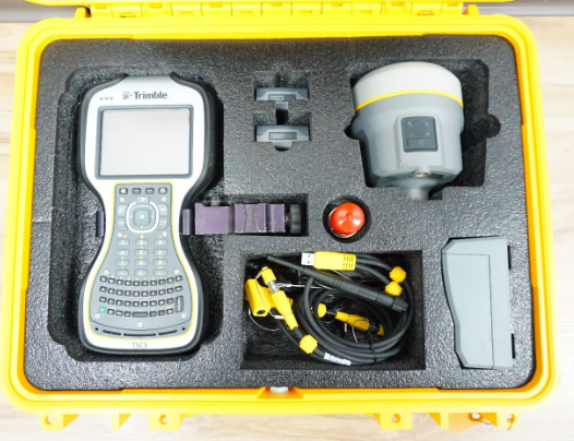
Trimble GNSS
High-performance, compact GNSS receiver for high-quality, location-based data collection and management.
-
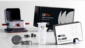
Field Spectroradiometer
High-performance instrument captures precise spectral data across a wide wavelength range.
-
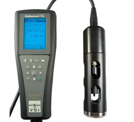
YSI Water Sonde
This advanced multi-parameter instrument measures key water quality parameters such as temperature, conductivity, dissolved oxygen, pH, turbidity, and more.
Photos from our fieldwork are collected in the photo gallery.